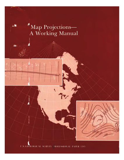
Map Projections: A Working Manual

简介:
本书的开头包含有关地图投影族和扭曲的大量介绍性信息。每个投影都从该特定投影的上下文和用法的有用摘要开始。然后,在提供用于计算投影的数学公式之前,Snyder详细研究了历史记录,功能和用法。
几十年来,美国地质调查局 (USGS) 仅使用一种地图投影,即Polyconic,用于其制图程序,现在,美国地质调查局 (USGS) 在其已发布的地图中使用了几种更常见的投影。对于较大比例尺的地图,包括地形四边形和州基础地图系列,使用共形投影,例如横向墨卡托和兰伯特共形圆锥。等面积和等距投影出现在国家地图集中。为了方便起见,偶尔会选择其他投影,例如Miller圆柱和Van der Grinten,有时会利用其他人准备的现有底图。一些投影仅将地球视为球体,而其他投影则将地球视为椭圆体或球体。
英文简介:
The beginning of the book contains substantial introductory information about map projection families and distortions. Each projection is started with a useful summary of the context and usage of that particular projection. Snyder then delves into detail about the history, features, and usage before providing the mathematical formulas used to calculate the projection.
After decades of using only one map projection, the Polyconic, for its mapping program, the U.S. Geological Survey (USGS) now uses several of the more common projections for its published maps. For larger scale maps, including topographic quadrangles and the State Base Map Series, conformal projections such as the Transverse Mercator and the Lambert Conformal Conic are used. Equal-area and equidistant projections appear in the National Atlas. Other projections, such as the Miller Cylindrical and the Van der Grinten, are chosen occasionally for convenience, sometimes making use of existing base maps prepared by others. Some projections treat the Earth only as a sphere, others as either ellipsoid or sphere.
- 书名
- Map Projections: A Working Manual
- 译名
- 地图投影:工作手册
- 语言
- 英语
- 年份
- 1987
- 页数
- 394页
- 大小
- 22.07 MB
- 下载
 Map Projections: A Working Manual.pdf
- 密码
- 65536
最后更新:2025-04-12 23:57:41