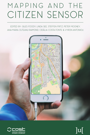
Mapping and the Citizen Sensor

简介:
地图是各种应用中的基本资源,从日常活动,例如路线规划到空间的法律划界,到科学研究,例如寻求了解生物多样性并为物种保护自然保护区的设计提供信息。为了使地图具有价值,它应该提供所描绘现象的准确和及时的表示,这在动态世界中可能是一个挑战。
幸运的是,制图活动从地理信息技术的最新进展中受益匪浅。例如,卫星遥感现在提供了无与伦比的数据采集,权威的测绘机构已经根据严格的标准开发了日常地图制作系统。
本书探讨了与公民动机,数据获取,数据质量以及在制作地图时使用公民派生数据等主题相关的问题,这些问题与权威机构产生的地图相媲美,有时甚至超过了地图。
英文简介:
Maps are a fundamental resource in a diverse array of applications ranging from everyday activities, such as route planning through the legal demarcation of space to scientific studies, such as those seeking to understand biodiversity and inform the design of nature reserves for species conservation. For a map to have value, it should provide an accurate and timely representation of the phenomenon depicted and this can be a challenge in a dynamic world.
Fortunately, mapping activities have benefitted greatly from recent advances in geoinformation technologies. Satellite remote sensing, for example, now offers unparalleled data acquisition and authoritative mapping agencies have developed systems for the routine production of maps in accordance with strict standards.
This book explores issues linked to topics ranging from citizen motivation, data acquisition, data quality and the use of citizen derived data in the production of maps that rival, and sometimes surpass, maps arising from authoritative agencies.
- 书名
- Mapping and the Citizen Sensor
- 译名
- 地图绘制和 Citizen 传感器
- 语言
- 英语
- 年份
- 2017
- 页数
- 400页
- 大小
- 13.42 MB
- 下载
 Mapping and the Citizen Sensor.pdf
- 密码
- 65536
最后更新:2025-04-12 23:57:41